Predicting Congestion Before It Builds in Ho Chi Minh City
Ho Chi Minh City has one of Vietnam’s largest and most complex urban road networks. High traffic volumes, rapidly changing conditions and heavily used intersections place considerable pressure on the city’s transport infrastructure, particularly during peak periods.
Conventional traffic signals operating with fixed schedules can only respond to these conditions to a limited extent. When demand changes unexpectedly, predefined signal plans may no longer distribute available green time effectively. Queues can form quickly and affect surrounding intersections and corridors.
To support a more proactive approach, LK Engineering implemented a data-driven traffic management solution that brings together real-time field data, a digital twin, AI and traffic simulation. Across the current deployment, 76 smartmicro UMRR-11 Type 44 radar sensors provide the traffic information used to forecast developing congestion and support proactive signal adjustment.
The Challenge
Traffic conditions in Ho Chi Minh City vary considerably depending on the time of day, location and surrounding road network. Major corridors must accommodate consistently high demand, while individual intersections can experience sudden changes in traffic density and lane usage. Congestion at one location can also influence traffic flow across the wider network.
The implemented network covers approximately 36 km and includes 31 intersections along the Vo Van Kiet, Mai Chi Tho and Pham Van Dong corridors, as well as seven intersections in the urban area around Tan Son Nhat Airport. These locations required more than simple vehicle-presence information. The traffic management solution needed continuous, dependable data showing how traffic was developing across individual lanes, intersections and connected corridors.
Because the system supports day-to-day traffic operations, the underlying detection also had to remain available during darkness and challenging weather conditions. Reliable measurements of traffic volume, density, speed and lane use were essential inputs for both the current traffic overview and the predictive models.
The Solution
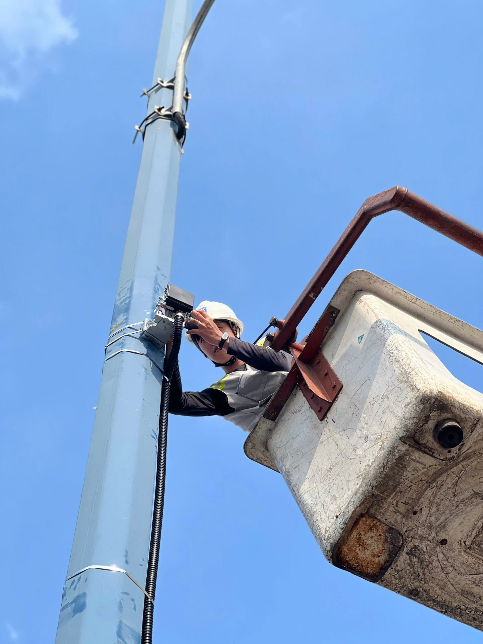
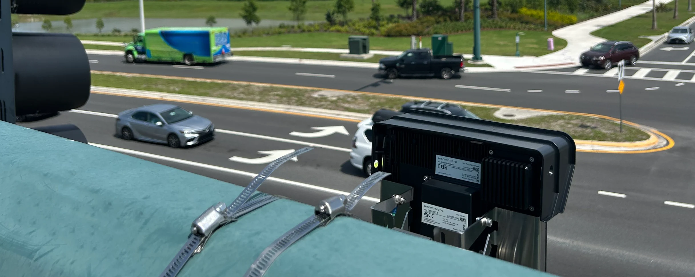
LK Engineering deployed 76 smartmicro UMRR-11 Type 44 radar sensors operating at 24 GHz across the selected intersections and corridors. smartmicro also supplied protective enclosures for the sensors. The radar data is integrated into LK Engineering’s IoT and traffic management architecture and transmitted in real time to the Ho Chi Minh City Department of Transportation Traffic Control Centre.
The sensors continuously provide data on traffic volumes, vehicle density, vehicle speeds and lane use. Radar technology forms a reliable foundation for this task because it measures vehicle movement and speed directly and does not depend on ambient light. This helps maintain consistent traffic information at night and in challenging weather conditions.
The project combines contributions from several partners. LK Engineering was responsible for local system implementation and integration, including deployment of the microwave radar sensors and IoT network, integration of field data with the traffic management platform, and collaboration on the predictive digital-twin solution. Researchers from Monash University collaborated with LK Engineering on the data-driven digital twin and the AI and simulation components. smartmicro contributed the radar technology as supplier and project partner.
Results and Benefits
The solution goes beyond displaying current traffic conditions. Real-time radar data is evaluated together with AI models and traffic simulations to forecast how traffic is likely to develop. The system can identify potential congestion 15 to 30 minutes in advance and generate recommended changes to signal cycle lengths and green times.
The current solution provides decision support for proactive signal adjustment. The platform provides traffic operators with an evidence-based view of developing conditions and recommended signal parameters, helping them respond before queues intensify.
The process follows three connected steps: the radar sensors measure current traffic conditions, the digital-twin and AI models predict how those conditions are likely to develop, and the platform provides recommendations for proactive signal adjustment.
Measured Improvements in Traffic Flow
An evaluation on the Mai Chi Tho corridor compared six months of operation in the second half of 2025 with a baseline established in 2024 after the sensors had been installed. The assessment focused on the morning peak from 06:00 to 10:00 and the afternoon and evening peak from 16:00 to 19:00. Total queue time was used as the main measure of operational performance.
The project evaluation reported an approximately 20 percent reduction in vehicle density during peak hours and an approximately 18 percent increase in intersection throughput. The improvements were most evident for straight-through movements on the main road during peak periods.
The operational effect was reflected in shorter waiting times, smoother traffic flow and reduced queues and idling. The results show how reliable real-time traffic data and predictive analysis can help make better use of existing road capacity.
Scaling the Approach
The current deployment establishes a monitored network of approximately 36 km across key Ho Chi Minh City corridors and strategic urban areas. With 76 radar sensors in service across 38 intersections, the project provides an operational foundation for extending the same data-driven approach to further parts of the city.
Conclusion
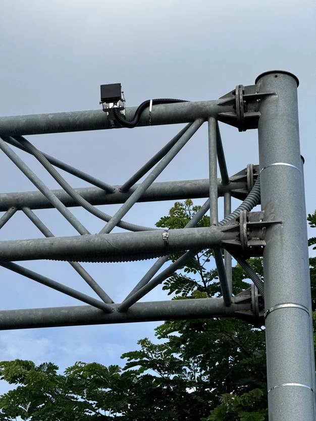
LK-smart-engineering-sensor-2
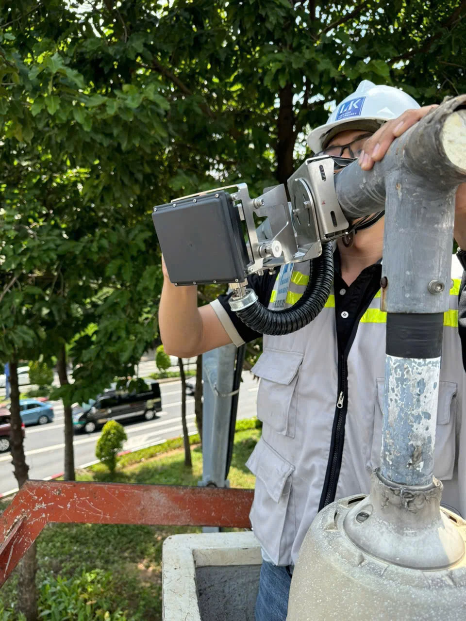
LK-smart-engineering-sensor-installation